Home
Aviation Stories
"In Memory Of"
Net Sites
Sign Guestbook
View Guestbook
Email Ron
Sell your Trust Deed

Geoglyphs of the SW DesertAn Indian Hills Airpark Great Outing
Story and Photos
By Ron KilberWednesday, January 22, 2003
It's not known if geoglyphs are 200 years old or two thousand. These giant ground paintings depict geometric designs, human form and animal figures. Many have withstood the test of time, but others have fallen victim to motorcycles, SUV's and quads. If they're ancient, it's interesting that some of these huge earth drawings, known also as intaglios (in tar yoe), have survived wind, rain and storm, only to be swamped in recent years by progress and technology.
More than 200 geoglyphs have been discovered along the Colorado River from Nevada to the Gulf of California. It's certain that many more remain to be discovered.
En route to the Fisherman.
A bunch of us launched our airplanes from Indian Hills Airpark at 0930 hours, en route to view some of the many intaglios in and near Arizona. Our plan was to circle a site near Bouse first, then an area north of Blythe, CA, and finally a location just east of Parker. Before viewing the final location, doing lunch at the Bluewater Casino came first.
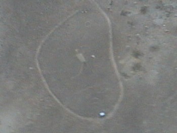
The Fisherman near Bouse.
Coordinates: N33 47 27.9 - W114 05 37.2The Fisherman intaglio shows a man suspending a spear, with two fish depicted below, a sun and serpent above. This geoglyph is located in the foothills of the Plomosa Mountains on the road from Bouse to Quartzsite. It can be found on the inside curve of the road just before turning westward and descending from the mountain range.
For safety concerns, organizer and energetic leader, Bill Jones, developed a well thought out plan to keep everyone out of harms way. Arriving at the site of the Fisherman first, Jones' C-172 straight tail became a visual AWAC vehicle, circling at 3500 ASL above, where he kept an eye on everyone as we took turns flying low and slow for a closer look of the Fisherman. He vectored those who needed help finding the exact location, which is difficult to spot if one doesn't know exactly what to look for.
The Blythe Intaglios.
First discovered by an airplane pilot in 1923, the Blythe Intaglios are considered one of the best known sites. They're located approximately 15 miles north of Blythe, California, just west of the paved road running along the Colorado River. There are six distinct figures in three locations that are pretty much within slingshot range of each other.
Coordinates: N33 48 00.0 - W114 32 00.0
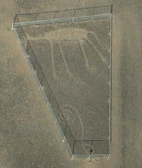
An animal figure believed to be a horse or mountain lion, with a geometric design under.
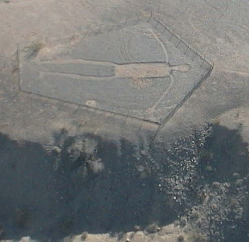
Blythe Intaglios. This figures measures 171 feet from head to toe. Notice the damage caused by tires.
Click photo for high-resolution image
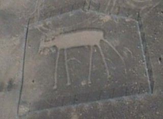
Blythe Intaglios. The fence arrived too late to prevent tire damage.
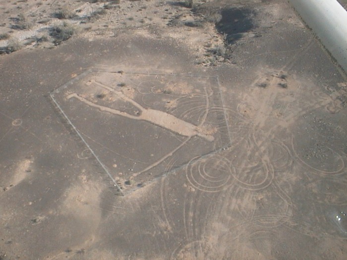
Blythe Intaglios.
Click photo for high-resolution image
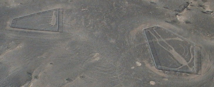
Blythe Intaglios.
Click photo for high-resolution image
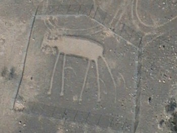
Blythe Intaglios.
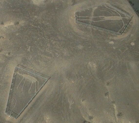
Blythe Intaglios.
Click photo for high-resolution image
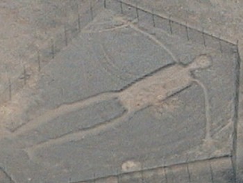
Blythe Intaglios.Lunch Time.
Just a few miles up river from the Blythe Intaglios is the Aha Quin Airport on the California side. Thirty miles farther is Parker, Arizona.
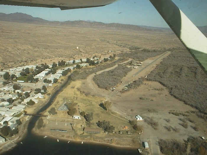
Aha Quin Airport
Click photo for high-resolution imageAfter a safe landing at the Parker Airport with its brand new ramp, we had lunch at the Bluewater Resort and Casino. (Click on link for description).
We didn't all fit in the airport shuttle van, so the attendant made two trips. Those of us who arrived first enjoyed the time discussing geoglyphs while we waited for the second load.
Gary Cosper, who lives on the Colorado River, joined us for lunch. A few days earlier I had sent an email message to invite Gary to join us. I've known him since the days when we both worked for the same company as district managers.
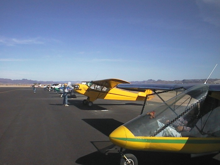
Airplanes and participants: Ed Willard and Dagmar, Ernie Wright, Ron Kilber, Bill and Linda Jones, Maynard and Joyce Smith, Bob Bumgardner, Roger Crossman, Bill Goodman.
Click photo for high-resolution image
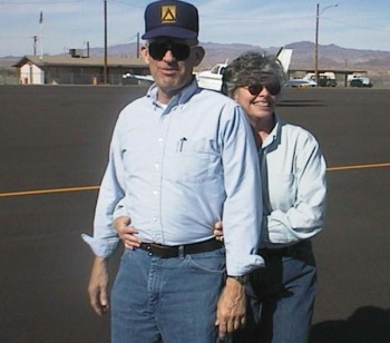
Leader, Bill Jones, posing for the camera with wife Linda.
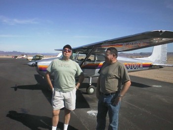
Gary Cosper and Ed Willard.The Snake Geoglyph.
The Snake is about 10 miles east of Parker on Shea Road, just south near an intersection with a dirt road. Beehives are nearby farther south about 200 yards.
Gary joined me to see the Snake from the air.
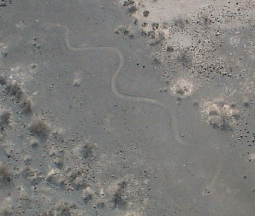
The Snake.
Observe closely to see the eyes, which are in the extreme lower right of the photo.
Coordinates: N34 07 26.3 - W114 04 26.0
Click photo for high-resolution imageI wanted a closer look at this intaglio, so we landed on the paved road. There wasn't any traffic until we parked my airplane in the lot at the intersection. That's when Larry & Donna Hagle came from out of nowhere in their pickup to see what we were up to. They didn't know a thing about the snake, so both joined Gary and I for the short hike up a rock terrace to the Snake.
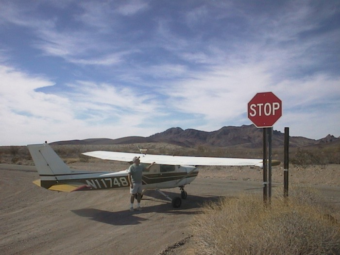
On the road again.
Click photo for high-resolution image
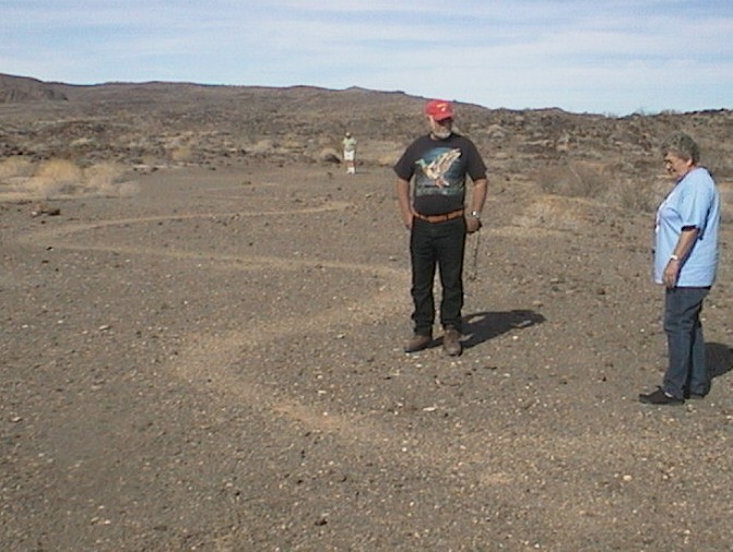
Larry & Donna Hagle at the tail; Gary Cosper at the head.
Click photo for high-resolution imageConclusion
Everyone arrived home at the airpark safely.
What a great day, which was especially interesting for me. Everyone really enjoyed seeing all the giant ground paintings, which was a first for most.
Geoglyphs, in my opinion, are just another variation of art. I believe this because most intaglios are near the Colorado River. Wherever man finds a plentiful and reliable food source, man ends up with time on his hands. Time translates into artistic expression. This is a common theme throughout the history of civilization. British Columbian native inhabitants, for example, spent only a few minutes each day fishing the incredibly rich waters of the Northwest. The remainder of their time was used to create incredibly crafted totem poles. Few other cultures produced more art per capita. Their counterparts in harsher environments, for example, produced comparatively little art.
###
Copyright (C) 2003 Ron Kilber rpknet@aztecfreenet.org RonKilber.tripod.com You may reprint this story for non-commercial use provided this copyright notice is left intact. Permission will not be unreasonably withheld for all other uses.